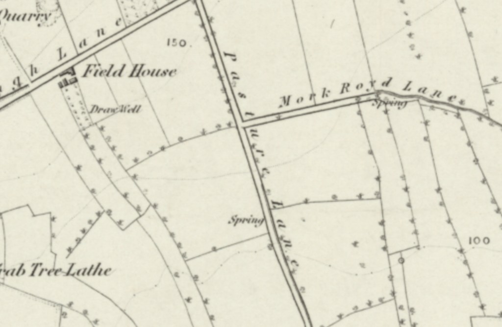
From the junction of Trough Lane and Balk Lane to the north, Pasture Lane led south towards the direction of the hamlet of Moorhouse, though the 1854 Ordnance Survey map shows that by that point the railway had cut through what was probably once a lane into Moorhouse. Entirely agricultural, Pasture Lane featured a spring towards it’s southern end. Mid way down Pasture Lane was a junction with Mork Royd Lane.
The entire area was surprisingly given planning permission to be developed into industrial units and today is entirely destroyed.