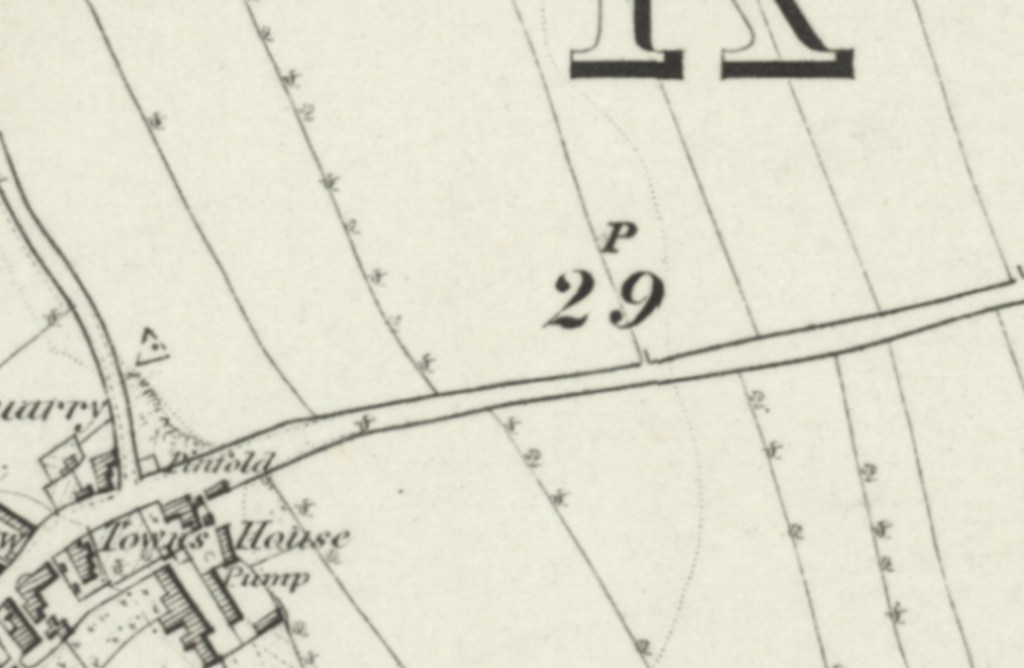
Though no actual known date is recorded, the Grade II listed Cherry Tree Farmhouse is found on Field Lane. This whitewashed limestone rubble building is a mixture of mainly 17th and 18th century building phases. The 1854 Ordnance Survey map shows that Field Lane then, as today, emerged from the junction of Mill Lane and what is now High Street, leading eastwards towards what is now Doncaster Road (A638). At it’s westerly end was the village pinfold, at the junction of Mill Lane, along with a towns house (poor house), pump and a limestone quarry, in a built up area.
As Field Lane crossed South Elmsall Field, on it’s southern edge was South Elmsall Quarry and limekilns and the road was intersected by the now lost Balk Lane. Though Field Lane still survives, this entire area has been flattened to make way for industrial units, all except for the former South Elmsall Quarry site, which ironically was retained, as the former quarrying activities here left an exposed area of bryozoan reef, featuring incredible stromatolites, and today this is protected as a site of special scientific interest.

At it’s eastern terminus was a crossroads, where Cherry Tree House was located, now mostly lost underneath a roundabout on the Doncaster Road (A638). Here today, on the Coal Pit Lane side of this junction, stands a lone remaining old property, the Grade II listed Cherry Tree Farmhouse. In 1854 here a pump was also located.