In January 1827 the freehold lands of the late Mary Stocks were auctioned. These lands were extensive and included lot 24, a close of land known as Coal Pit Close, in the occupation of Mr G. Smith.
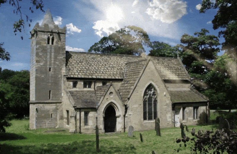
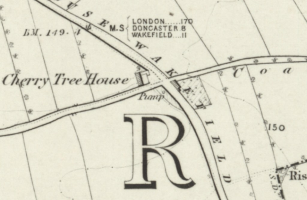
Today Coal Pit lane survives only as a footpath leading easterly from Doncaster Road (A638), but the 1854 Ordnance Survey map shows that in the 1850’s the route was much longer and more substantial. What is today a roundabout on the Doncaster Road (A638) was the starting point of Coal Pit Lane, but where in 1854 Cherry Tree House and a pump still existed, all that is left today is the solitary 17th to 18th century Grade II listed building known as Cherry Tree Farmhouse.
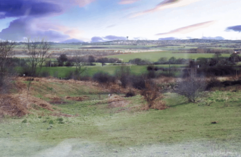
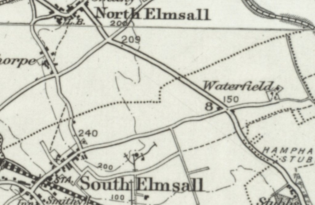
To the northern edge of Coal Pit Lane was Coal Pit Fields, where the substantial property known as Waterfield once stood, alongside limekilns and Rise Hill Quarry. To the southern edge were Top Rise Hill Plantation, Rise Hill Plantation and Hollins Plantation. At it’s easterly terminus the road met with Hollins Lane, which formed the easterly edge of South Elmsall.
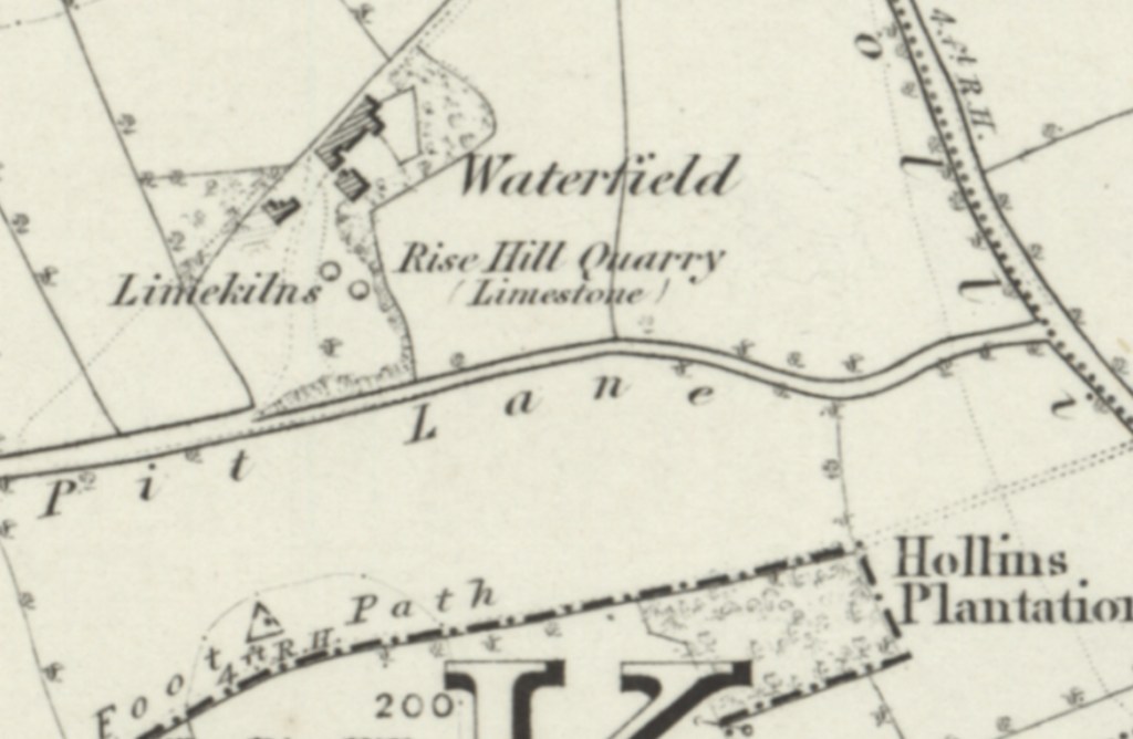
The Ordnance Survey map published in 1896 specifically named the property of Waterfield, showing that it was seen as significant in this time.
As late as 1938 the Ordnance Survey maps of the area show no distinct changes to Coal Pit Lane.

In April 1972 Solicitors for the Castleford and Pontefract Footpaths Group called for South Elmsall Parish Council to take action against an unnamed farmer, for ploughing up footpaths at Coal Pit Lane and Hollins Lane.