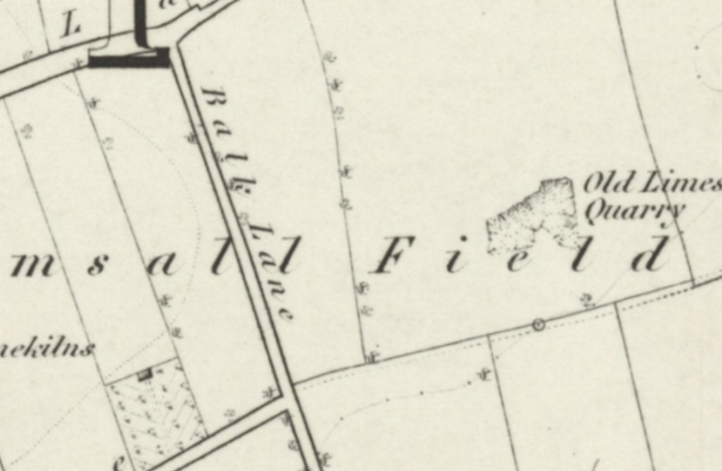
The 1854 Ordnance Survey map shows that Balk Lane connected Field Lane to the north, with Pasture Lane to the south, running through South Elmsall Field. Largely an agricultural area, the only feature nearby was the ancient limestone quarry to the west of Balk Lane and in the 1850’s the South Elmsall Quarry and limekilns to it’s eastern side.
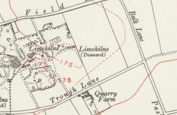
The 1883 Ordnance Survey map showed that the South Elmsall Quarries to the western side of Balk Lane had developed significantly, with the addition of a large chimney and other features. The earlier disused kilns can also be seen.
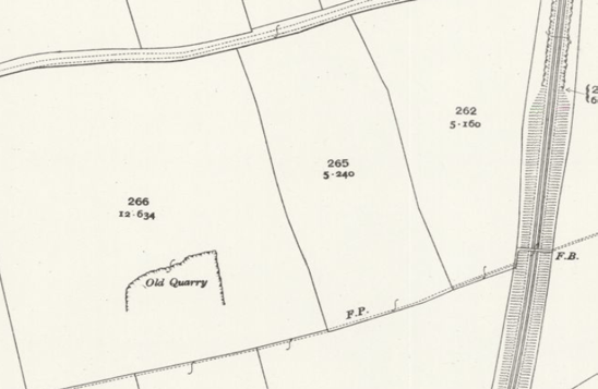
In April of 1891 freeholdings including those known as Quarry Field, occupied by Robert Fox on Balk Lane, were advertised in the South Yorkshire Times to be sold at auction. This is likely to be Quarry Farm, as seen on the above Ordnance Survey map. The 1904 Ordnance Survey map shows that the railway had cut through the area west of Balk Lane, which remained agricultural.
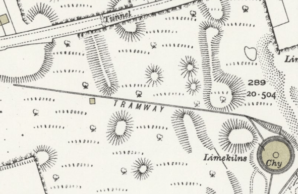
By 1930 the South Elmsall Quarries to the west of Balk Lane had reached such a peak in output that they had developed a number of interesting features, which are obviously now gone, including tunnels on roads and tram ways, as seen on this 1930 Ordnance Survey map.
Sadly Balk Lane has now been lost to history, with Balk Lane and the agricultural fields spanning across to Cherry Tree Farm now being the site of a large new Next warehouse.